GeoJSON and topoJSON for UK boundaries
I’ve just put an archive online containing GeoJSON and topoJSON for UK boundary data. It’s all stored on Github, with a viewer and download site hosted on Github pages.
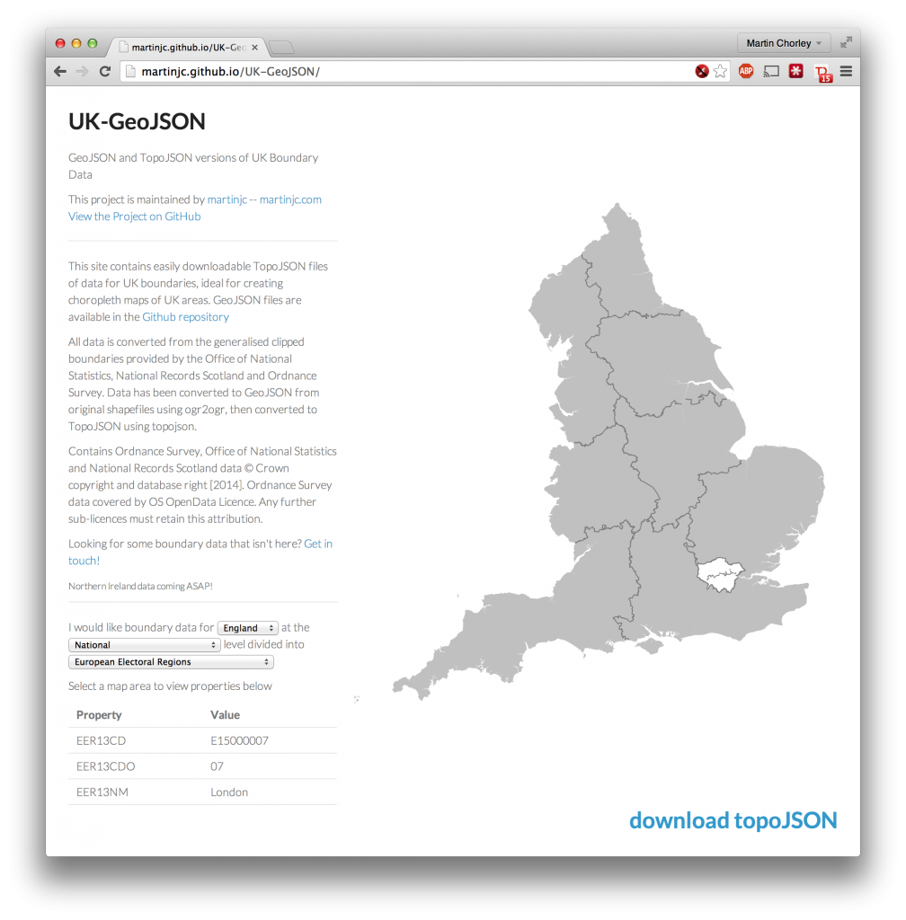
The data is all created from shapefiles released by the Office of National Statistics, Ordnance Survey and National Records Scotland, all under the Open Government and OS OpenData licences.
In later posts I’ll detail how I created the files, and how to use them to create interactive choropleth maps.